Hi Gram!
We woke up refreshed and decided to hit the road after seeing the big rock that we heard about in Morros Bay. We drove up to what we thought was the rock, saw some campers parked around it, and looked on. There was no way to get to it, and no placards or anything, so we shrugged our shoulders and moved on. We later decided that it wasn’t big enough to be the one we were looking for, so we’re not sure where they put the real one. We got out the map and plotted our course over to Joshua Tree National Park. I don’t know if you’re aware, but it’s a park with more than one tree. In fact, there are probably thousands of them. “Joshua Tree” is just the type of tree. That seems obvious now, but when we were heading there, I kept thinking “I wonder what’s so special about this one tree?” We didn’t get there until the end of the day, though, so let me back up to the beginning.
We plotted our course, and with the sun shining and the temperatures warming up, we decided to take a circuitous route that would take us through a state forest, figuring we could get out and hike a little. The scenery was beautiful with rolling hills, weaving roads, and ranches that had cool names and brands. We gained some altitude and saw some snow capped hills in the distance, then descended into more ranches and prairies. We had been driving for a while when we began wondering where this forest was. We got out the map only to discover that we’d already passed through it. I’m guessing the scrub brush next to the highway when we were at the higher altitude made up the entire forest. We shrugged and kept going, passing through Mismo Beach and a couple other little towns. We’d been drinking a lot of water, so we found a roadside gas station and stopped to use their restrooms. We have a rule that if we stop to use a bathroom at any gas station or store, its only fair to buy something from them – they wouldn’t be there if they weren’t running a business. We were stocked up on drinks and snacks, and most of what they had on the shelves looked like it had been there for a long, long time. It was decided that we’d buy some scratch off lottery tickets, and we had fun scratching to see if we’d won. My tickets came up duds, but Zibby won a whole two dollars which we set aside for our next snack break.
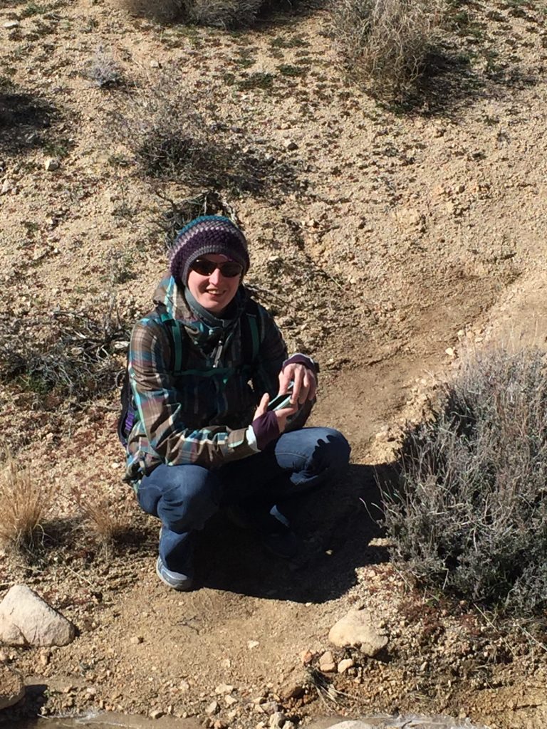
We pulled into the town of Joshua Tree just after sunset and found ourselves a Super 8 for the night. One of the features of the national park is that there are very few city lights, so you can really see the stars. We grabbed some dinner, then drove toward the park, about 1/2 hr away, to try and look up at the Milky Way. We were almost there when I thought, “wow, the moon is almost full, it looks really big tonight. You can really seen the trees and rocks, and the hills look cool silhouetted like that!” then realized that we’re not going to be able to see the stars with the moon so bright. We were enjoying the scenery, though, so we got into the park a little, pulled over, and walked about fifty feet into the desert and away from the car to get some pictures and look at the moon. Zibby loves taking artistic photographs, so I let her snap some pictures of the trees while I wandered around and looked at the moon. She worked her magic, squatting down to get a good angle here or backing up a little to frame the shot better there, before she felt like she had gotten some good shots, then we headed back to town. We shut off the heater when we got back to the room and hit the sack so we could get up early for some hiking.
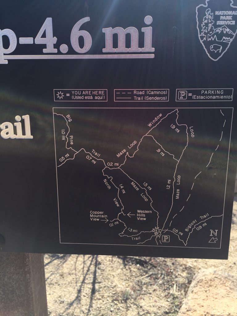
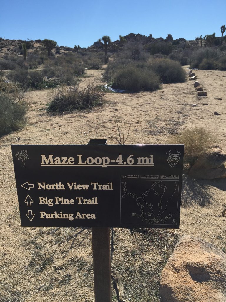
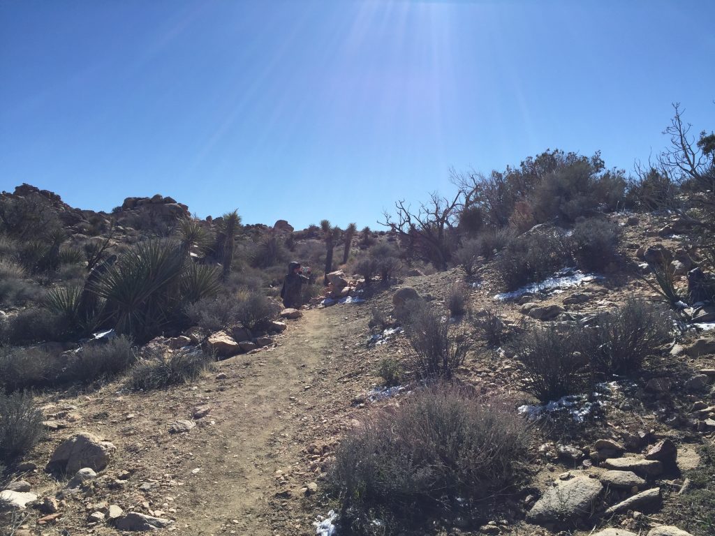
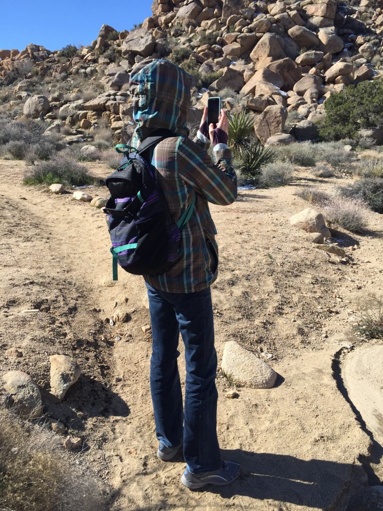
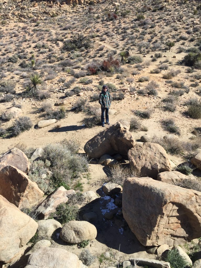
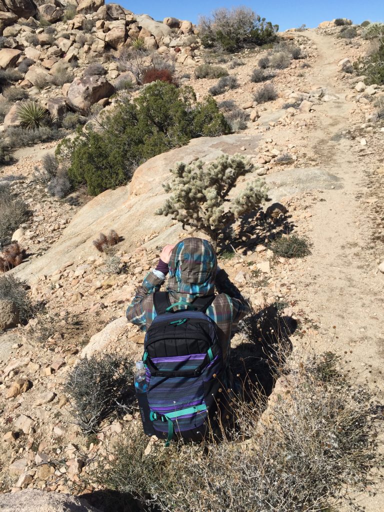
First thing in the morning, we grabbed a quick breakfast and headed over to Joshua Tree. The line to get in was already long, but the park rangers kept it moving and we were through in no time. We parked at the first trailhead and figured we’d do a short hike to warm up, then go explore the rest of the park. We took a look at the map, and decided that a 3.4 mile trail would give us a nice leisurely stroll into nature. The trees were scattered around the beginning of a mostly flat, meandering terrain, but petered out pretty quickly, replaced by rock formations. The path got narrower and soon we found ourselves navigating up a river bed for a bit, then stepping carefully down between rocks and up again. We’d stop to get pictures of small succulents and cacti and old, bent trees growing out of cracks in the ground.
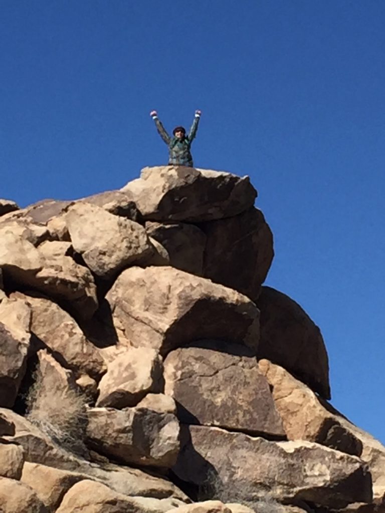
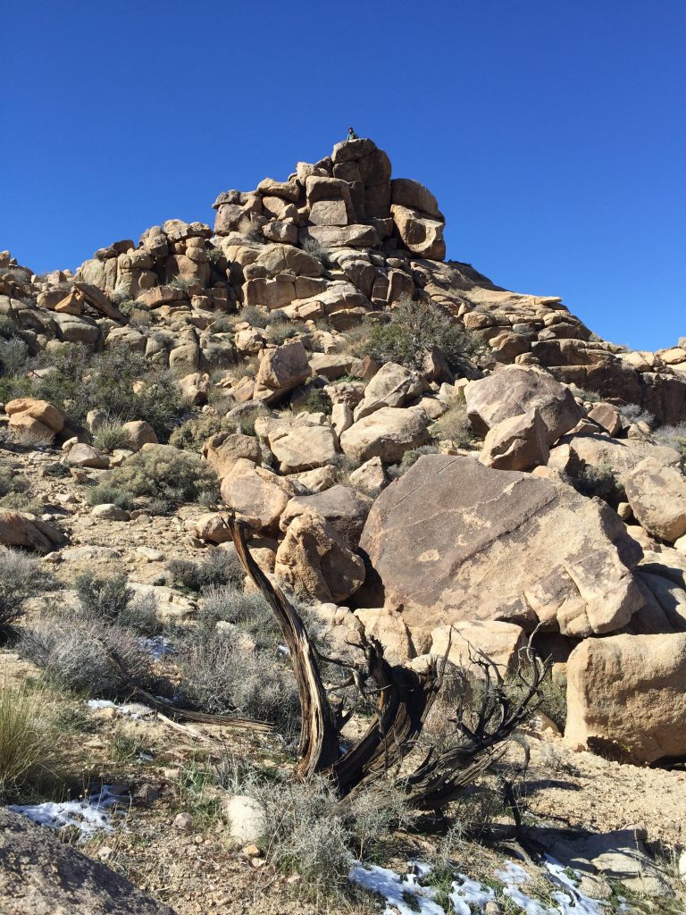
The rocks became boulders, stacked as if the children of giants had cast aside their marbles piling them after a scolding by mama giant. When we got close enough to the first pile, I couldn’t resist climbing up on top like a teenager playing “king of the hill”. I felt like a kid again, figuring out which grip to take next and where to put my feet, testing each boulder to make sure it wasn’t loose. I crawled my way up and looked out across the surrounding desert terrain for a bit, winds whipping stronger than I expected, before carefully inching my way back down.
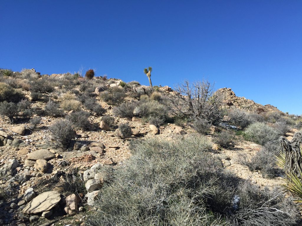
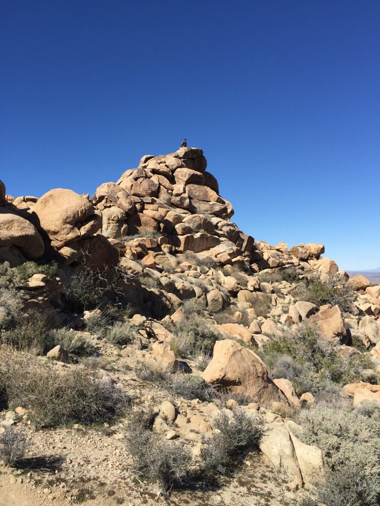
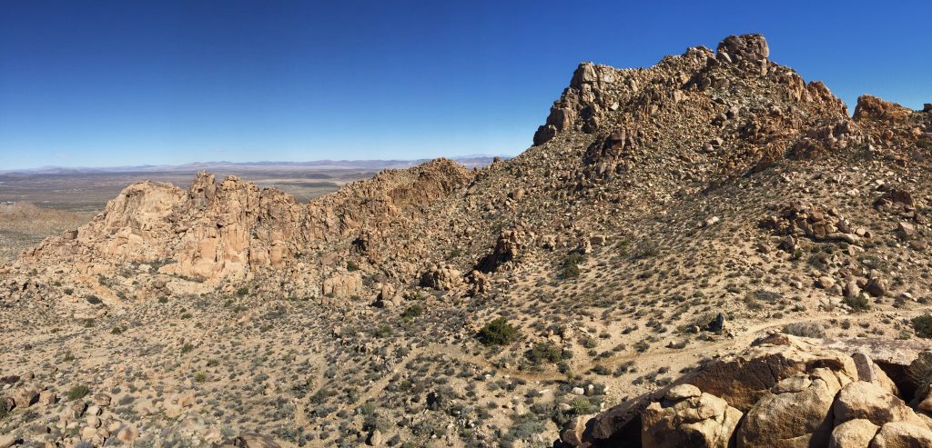
When we got to the next rock pile, Zibby decided it was her turn to be queen. She got most of the way up before pausing to decided whether to keep going to retreat. With a new resolve, she found a route to follow and continued on. All of the rocks we climbed had a rough texture that our shoes gripped very well and we each took our time, so we decided it wasn’t as scary as we expected. We were properly nervous, aware that a rock could slide out from under us or we might lose our balance, but that just made us more cautious and determined. She reached the top and sat on the top. With the winds gusting and nothing to grab onto in case of vertigo, this was no place to try standing. I got a few pictures before she climbed down, then we took a water break and kept going. I found another stack of boulders that I couldn’t resist climbing and found my way to the top, probably one of the highest points along this trail. The winds had calmed a little, and there was a wider, flatter top to this rock, so I stood for a moment and scanned my surroundings. It was beautiful! I felt like I could see for miles and miles in every direction across hills and valleys full of trees, cacti, boulders and brush. After I climbed back to the bottom, we kept going through challenging rocks and scrub brush, working up and up and up before turning a corner, seeing a beautiful vista, then descending down and down through the narrow rocky trail. We came to the sign for a detour over to see copper mountain view and decided to see how far we’d come.
We were sure we had covered over half the trail and were on our way back to the beginning. Imagine our disappointment when we discovered that we’d only covered 1.3 miles, less than a third of the planned route. After some more water and cookies, we reassessed our plan and decided that we weren’t in shape or well provisioned enough to do the whole thing. We decided to go the extra 0.3 mile, see the copper mountain view then head back the way we came. The view was well worth it, and it felt good to be heading back to the car. We didn’t climb any piles on the way back, but we got some more pictures and discussed our theories of why the giants had placed the rocks the way they had, and compared what animals or formations we thought they looked like.
We made it back to the car and took a vote. Our legs unanimously decided against more hiking and our bellies proposed a lunch resolution, which won by popular vote, so we headed back to town to find some grub. We stopped off at a store to get some postcards and magnets, then headed to a Middle Eastern Hookah Bar, which didn’t have any hookahs or a bar, but provided us with some delicious shawarma and falafel for lunch. Tired, we agreed to go to the local 6-screen theater to see “Alita: Battle Angel”, a fun action packed movie, then headed back to the hotel to call it an early night.
